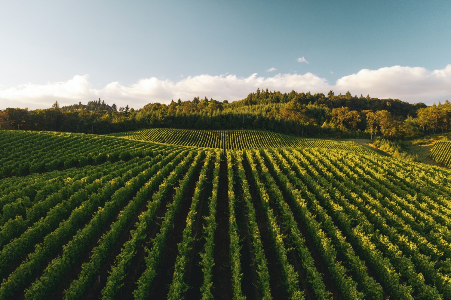
Precision agriculture is the farm management approach that uses modern technologies and equipment for on-site and remote observation of farmlands. It focuses on increasing crop quality and yields while improving resource use efficiency, profitability, and sustainability of agricultural production. The approach that appeared in the 90s is widespread nowadays, as it addresses agricultural issues like increasing food demand amid finite natural resources. The market value of smart farming is forecasted to grow from nearly $12.4 billion in 2020 to $34.1 billion by 2026.
Satellite monitoring is one of the remote sensing methods within precision agriculture. Hence, providers of smart farming software can expand its functionality by integrating satellite imagery data and analytics. Also, businesses planning to enter the agricultural niche need reliable sources of satellite imagery data and the technical capability to process and interpret this data for their decision-support tools.
EOS Data Analytics, a global provider of AI-powered satellite imagery analytics, can meet the IT market's needs for access and analysis of satellite imagery data.
"We are ready to share our expertise in satellite tech to help companies integrate satellite imagery analytics into their products or expand their customer base by introducing a precision agriculture tool under their brand while saving time and monetary resources on market analysis and custom software development," says Diana Mistrova, Account Executive at EOS Data Analytics.
Data integration and software development services for IT companies
EOS Data Analytics provides three services for IT companies: API integration, white label, and custom solution.
API integration
IT companies opting for API integration get access to EOSDA Crop Monitoring API and its documentation. Through this RESTful API, developers can integrate raw, processed, and analyzed data from nine data sources into their GIS software.
Data that can be obtained via the EOSDA Crop Monitoring API includes:
- Satellite imagery data from eight sources (e.g., Landsat, Sentinel, SBRS4, and MODIS)
- Data analytics (soil moisture since 2015 for nine countries, elevation values for any point on the map, farming stats for a given region)
- Historical and current field productivity data
- Weather data (7-day forecasts and forecasts made at one- and three-hour intervals, daily weather, and historical weather data since 2006 and since 2008 for some regions)
Acquiring data from additional satellites is also possible (it will require more time and cost). And with the launch of the first satellite within the EOS SAT constellation soon, EOSDA will have its source of imagery data suited for solving agriculture-related tasks.
Customers can also integrate the following functionality:
- Satellite imagery analysis with 18 vegetation indices (e.g., NDVI, NDRE, NDWI, NDMI, ReCl, and MSAVI)
- Downloadable spectral bands of any scene
- Zoning for creating vegetation and productivity field maps
- Crop classification and boundary detection
There are several optional features clients can request:
- Meteomatics weather data (forecasts and historical)
- Soil moisture updates and historical data for an area of interest in a country for which this data is not provided by default
- Productivity maps (based on Sentinel-2 data)
Companies considering adding data or features from EOSDA can test the API during a two-week trial.
White label
Companies can expand their business expertise and cater to a new customer base by distributing the branded EOSDA Crop Monitoring platform with a custom set of features and corporate design.
Depending on the desired customization level and the number of services, clients can choose between two white-label options: Basic and Advanced. The Basic option is for customers who need the customized web-based EOSDA Crop Monitoring for partner users. Advanced white label is for those who want to resell a mobile scouting app and provide a wider range of functionality and additional indices.
Depending on the option choice and product requirements, the white label solution can be ready for use in one and a half to three months. Since developing software from scratch may take up to two years and a substantial budget, white label is a feasible choice for businesses that prioritize fast time to market and zero development cost.
Custom solution
The Custom solution entails expanding the EOSDA Crop Monitoring's functionality or solving a particular task. For example:
- Land cover mapping
- Soil type mapping
- Access to soil moisture data since 2002
- Crop type classification and field boundary detection
- Harvest dynamics monitoring
- Yield forecasting
- Biomass calculation
- Soil carbon measurement
For each project, a client must provide input data: an area of interest, a season for analysis, ground-truth data, or statistics.
"We've worked on three scenarios of satellite tech implementation (API integration, white label, and custom solution) to ensure every company can choose a feasible option in terms of budget and timing," adds Diana Mistrova, Account Executive at EOS Data Analytics.
EOS Data Analytics aims to continue supporting the adoption of precision agriculture, which is crucial for ensuring food security for the growing global population amid limited cultivated land. With this goal in mind, the company is ready to share its expertise and tools with IT companies that plan to integrate satellite imagery analytics into existing agtech software or enter the agtech market in the shortest possible time.
* This is a contributed article and this content does not necessarily represent the views of techtimes.com


