Researchers at the University of California, Davis, have developed a groundbreaking web application called "When2Fly."
A report shared by Phys.org tells us that this app is set to transform the way farmers and industry workers utilize drones and uncrewed aerial vehicles (UAVs) to gather crucial data for more efficient and climate-resilient farming practices.
Associate Professor Alireza Pourreza, director of the UC Davis Digital Agriculture Lab, and postdoctoral researcher Hamid Jafarbiglu have created When2Fly to address a critical issue that has long plagued drone-based data collection: hotspots.
These glare-like anomalies in collected data have remained a persistent challenge until now.
The Power of Precision Timing
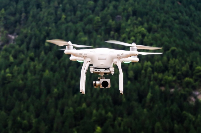
When2Fly empowers drone users to maximize the accuracy and effectiveness of their data collection process.
Users simply input the date they intend to fly, specify the type of camera they're using, and pinpoint their location either on a map or by entering precise coordinates.
The app then does the rest, calculating the optimal times during the chosen day for drone flights to capture crop data with minimal hotspot interference.
The significance of this development lies in its potential to enhance farming efficiency while mitigating agriculture's carbon footprint.
Providing farmers with the most accurate data, including insights into the spatial variability of crops, such as variations in nutrient requirements or disease detection, When2Fly empowers producers to allocate resources more precisely and sustainably.
Traditionally, farming practices have assumed uniformity across entire fields, assuming that all plants require identical inputs and will produce uniform yields.
This oversimplified approach, as Pourreza points out, does not accurately reflect the real-world variability of crops. Drones, with their unique capabilities, can address this challenge, but they must be used effectively.
Hotspot Finding
The pivotal breakthrough came when Hamid Jafarbiglu observed discrepancies in the data collected from aerial images of walnut and almond orchards.
Despite meticulous calibration efforts, the data remained subpar. Jafarbiglu's investigation led him to the revelation of hotspots - bright white spots in the calibrated images. These hotspots appeared despite the sun being behind the drone during data capture.
A hotspot occurs when the alignment of the sun and UAV creates a focal point in the camera's field of view, resulting in a gradual increase in brightness in that area.
These hotspots are problematic because, in agriculture, where precise data collection relies on multiple images taken from various angles, the observed differences should be attributed to plant variations, not glare. However, hotspots compromise data reliability.
Remarkably, the research uncovered that hotspots consistently occurred during drone flights at solar noon in mid-summer. Contrary to conventional belief, this time was revealed to be a hotspot hotspot, which increased the chance of hotspots in images due to the sun's varying geometrical relationship with the Earth based on location and time of year.
Global Implications for Agriculture
The implications of this discovery extend far beyond California. Researchers like Troy Magney, an assistant professor of plant sciences at UC Davis, who mainly uses towers to scan fields, also benefit from this breakthrough.
Magney reached out to Jafarbiglu after reading his research, noting that end users in remote sensing of plants often ignore the issue of hotspots.
The When2Fly app significantly strides in deploying technology to solve agricultural challenges. As the global population grows, agricultural efficiency becomes more critical than ever.
Stay posted here at Tech Times.
Related Article : Insect-Inspired Smartphone-Controlled Tiny Camera Takes Flight

ⓒ 2026 TECHTIMES.com All rights reserved. Do not reproduce without permission.


