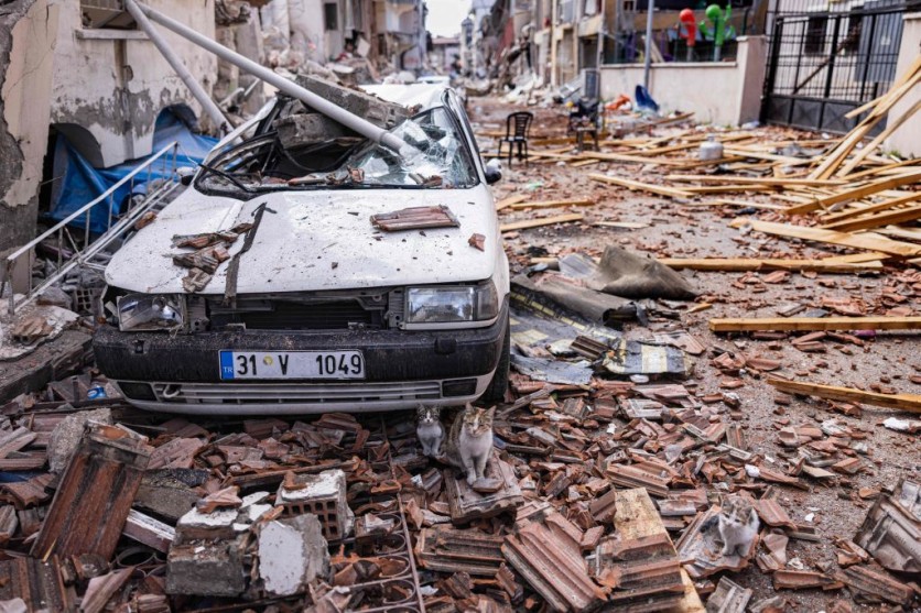
Following the earthquake in Turkey and Syria, the US Department of Defense is developing an artificial intelligence system, the xView 2, to help with the ongoing disaster response efforts, as reported by Interesting Engineering.
The xView2
The AI system is currently in the early development stage but has been deployed to support ground rescue missions in Turkey. Sponsored and developed by the Pentagon's Defense Innovation Unit and Carnegie Mellon University's Software Engineering Insitutute, the AI system is an open-source project that uses machine-learning algorithms on satellite imagery.
The AI system categorizes damage in the disaster area a lot faster. This comes at the right time as there are already a number of aftershocks that have occurred since the February 6 earthquake that has trapped more people.
According to MIT Technology Review, xView2 has been deployed in response to California wildfires and during the Nepal flooding, in which it helped identify damage from landslides caused by the floods.
So far, the AI system in Turkey has been used by two different ground teams for search and rescue. The AI system has been able to help rescue workers find areas that were damaged that they were not aware of.
Also read: NASA Captures Satellite View of Devastating Turkey-Syria Earthquake
How It Works
The AI system uses a technique that is similar to semantic segmentation. It investigates each individual pixel of satellite image and its relation to surrounding pixels to analyze the state of things on the ground. When it identifies a damaged area, it will automatically be highlighted in red.
Thanks to machine-learning, the method can now be carried out in only a matter of hours. This method is more efficient than the traditional method of relying on eyewitness accounts for damage assessment.
There are still a few issues to be sorted out in the system. One is that it relies on satellite imagery taken during the time, which means it can't quickly provide data for disasters that occur at night or during the early hours of the day.
Overall, the AI-based system is a great tool for quickly assessing damage after a disaster, and it can be used to help provide aid to affected areas.
However, it is important to note that the system is not perfect and still needs to be improved upon. In addition to the AI-based system, there are other methods that can be used for damage assessment.
For example, drones equipped with cameras and sensors can provide high resolution images of affected areas which could then be analyzed by experts on the ground. This method is especially useful when it comes to assessing potential risks such as landslides or floods in remote locations where satellite imagery may not always be available.
Another option is using aerial photography from manned aircrafts and helicopters which has been proven effective at providing an overview of large scale disasters like earthquakes or hurricanes.
Additionally, these photos offer a wider view than what satellites typically capture so they're able to detect more subtle changes in terrain caused by natural disasters.
Related article: NASA Sends Heartbeat-detecting FINDER to Help Turkey's Earthquake Recovery Efforts

ⓒ 2026 TECHTIMES.com All rights reserved. Do not reproduce without permission.


