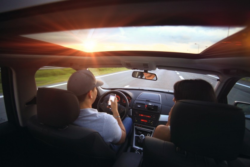
Navigating busy city streets can be challenging, especially when drivers have to consider factors like speed, efficiency, and environmental impact.
But what if there was a way for navigation apps to go beyond the standard fastest route and offer the safest possible path to avoid potential crashes? A team of researchers at the University of British Columbia (UBC) has developed an algorithm that could make this a reality.
Safest Route in an Urban Network
The research group, led by Dr. Tarek Sayed, a professor at the UBC Department of civil engineering and Ph.D. student Tarek Ghoul, devised a novel approach to identify the safest route within an urban network using real-time crash risk data.
The algorithm has the potential to be integrated into popular navigation apps, including Google Maps, providing users with the added benefit of choosing the safest route for their journey.
During their research, the scientists utilized 10 drones positioned over downtown Athens, Greece, for an extended period. These drones were equipped to gather essential data, including details about vehicle positions, speeds, and accelerations.
Through a thorough analysis of this data, the team identified instances of near-misses between vehicles, enabling them to predict the real-time risk of potential crashes.
Sayed highlighted the significance of their research, stating, "This research is the first to use real-time crash risk data to provide navigation directions and give you the safest possible driving route through a city."
He also explained that the algorithm can adjust directions in real-time and suggest detours to avoid hazardous locations, thus enhancing overall road safety.
The Quickest May Not Be the Safest
The research revealed that the quickest routes may not always be the safest. After analyzing a specific section of Athens' urban road network, the team discovered that only 23 percent of the fastest routes were deemed the safest.
On average, the safest route reportedly used 54 percent of the roads utilized in the fastest route. Ghoul stressed the importance of considering both safety and efficiency when selecting directions, as they observed a clear trade-off between the two aspects.
The researchers are expanding their investigation to other cities, including Boston, where autonomous vehicles are currently being tested. These advanced vehicles not only furnish information about their own navigation but also supply data about traffic routes and crash risk.
Sayed noted that integrating new technologies like autonomous vehicle data, cameras, and other sensing technologies opens up possibilities for real-time safety evaluation and efficient routing.
The algorithm's potential is not only limited to car navigation. It could also be applied to bike routing, benefiting vulnerable road users like cyclists and pedestrians. Sayed believes including pedestrian and cyclist data in future algorithms or navigation tools will significantly improve their safety.
Sayed also stressed the importance of reflecting on current conditions, providing accurate crash risk estimates, and reducing the number of road collisions. By leveraging this data along with advanced modeling techniques, the algorithm promises a safer route that prioritizes safety without sacrificing efficiency.
The team's findings were recently published in the journal Analytic Methods in Accident Research.

ⓒ 2026 TECHTIMES.com All rights reserved. Do not reproduce without permission.


