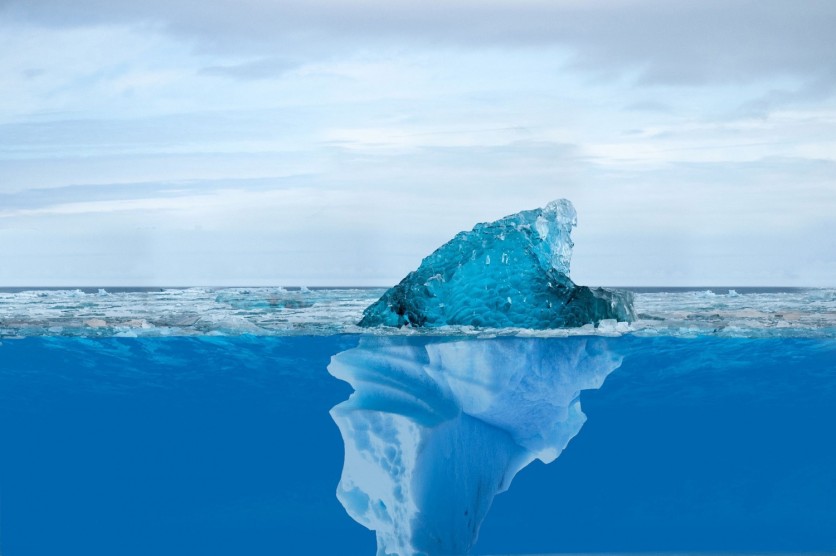
Icebergs are rapidly melting due to global warming. But how can scientists ensure they can track its unprecedented rapid pace?
Researchers introduce AI as a solution. A research team from the University of Leeds has developed a neural network that efficiently maps the expansive Antarctic icebergs in satellite images, completing the task in just 0.01 seconds.
This innovative approach marks a departure from the previous laborious and time-consuming manual efforts, as reported in the European Space Agency's (ESA) blog.
AI Maps Icebergs
Lead author Anne Braakmann-Folgmann, now at the Arctic University of Norway in Tromsø, conducted this research during her tenure as a PhD student at the University of Leeds.
She states, "Giant icebergs are important components of the Antarctic environment. They impact ocean physics, chemistry, biology, and, of course, maritime operations. Therefore, it is crucial to locate icebergs and monitor their extent, to quantify how much meltwater they release into the ocean."
The Copernicus Sentinel-1 radar mission, providing images of icebergs regardless of cloud cover and daylight, plays a crucial role in this AI-powered approach to mapping icebergs.
While traditional satellite images make it challenging to distinguish icebergs from other elements due to their shared appearance, Sentinel-1 radar images depict icebergs as bright objects against the darker ocean and sea-ice background.
However, in complex surroundings, distinguishing icebergs from sea ice or even the coastline remains challenging. Dr. Braakmann-Folgmann explained the struggles with standard segmentation algorithms that often select the coast or group smaller iceberg fragments with the main iceberg, emphasizing the need for a more effective solution.
The team claims that the neural network can accurately map the extent of icebergs, even in challenging conditions, owing to its capacity to comprehend intricate non-linear relationships and take into account the entire context of the image.
The neural network distinguishes itself from comparative methods by identifying the largest iceberg in each image, effectively tracking changes in both iceberg area and thickness.
This capability is crucial for understanding their impact on the ocean and sets the neural network apart from options that frequently choose slightly smaller icebergs in close proximity.
The neural network also underwent meticulous training using Sentinel-1 images capturing giant icebergs in diverse settings and was developed based on the U-net design.
During the training process, the system improved its predictions by adjusting parameters according to the disparities between the manually derived outline and the predicted result.
The training automatically stops upon reaching optimum performance to ensure its adaptability and success with new examples, according to the team.
Remarkable Accuracy
The algorithm demonstrated remarkable accuracy when tested on seven icebergs, ranging from 54 sq km to 1052 sq km, indicating its potential. The diverse dataset, covering various seasons from 2014 to 2020, yielded impressive results with 99% accuracy.
Dr. Braakmann-Folgmann anticipates the operational application of this automated mapping system, offering improved speed and accuracy in monitoring changes in iceberg areas for multiple giant icebergs.
"Being able to map iceberg extent automatically with enhanced speed and accuracy will enable us to observe changes in iceberg area for several giant icebergs more easily and paves the way for an operational application."
Related Article : Euclid Space Telescope Snaps Breathtaking Photos of Cosmic Display of 10 Billion Years

ⓒ 2026 TECHTIMES.com All rights reserved. Do not reproduce without permission.


