Using the power of Google Street View, anybody with an Internet connection can go on a virtual sightseeing tour to explore nearly any part of the world with the help of Google Maps. So far that exploration has been limited to, you know, actual streets, but scientists are now changing that idea by applying the Street View style of mapping to the Florida Keys and other reefs throughout the world.
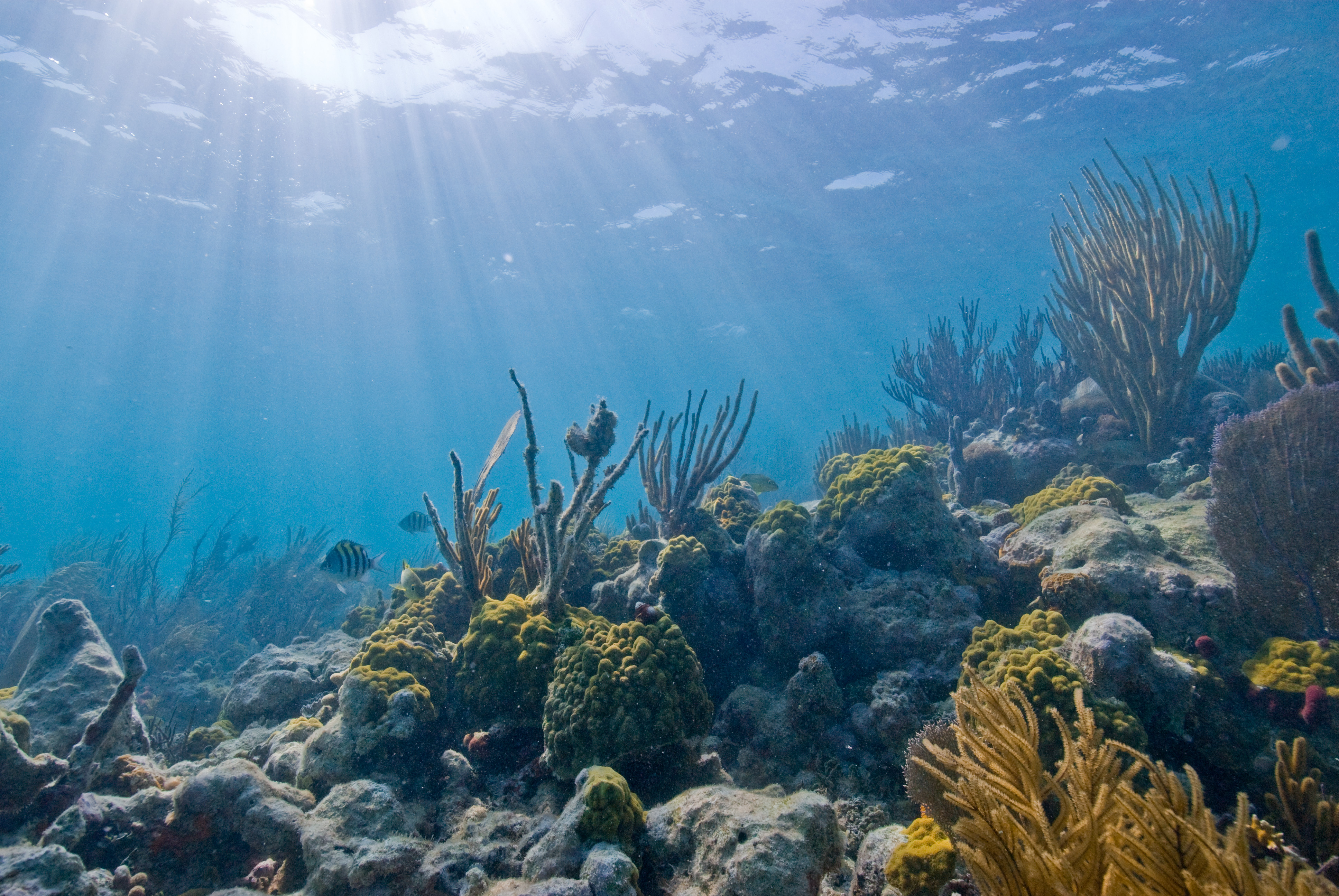
Using special fish-eye lenses specifically for underwater use, United States government scientists are mapping the Florida Keys for research and ecosystem management purposes. But there is another reason as well: to raise awareness among the general public about the reef ecosystems that live beneath the surface. By capturing the reefs of the Florida Keys in full 360 degree, panoramic images, the Internet-using public will be able to explore a whole new underwater world that few people ever get to actually experience in real life. Images from the project are expected to be online as early as sometime this week.
The SVII camera technology being used underwater is almost identical to what Google uses to create Street View images on land, but with one big difference. Instead of using a car-mounted camera and driving around neighborhoods around the world, the 143-pound camera rigs are attached to scuba divers, who are powered through the water with small motors.
The Catlin Seaview Survey, along with a sponsorship from Google, is helping to pay for the training and mapping of the Florida Keys National Marine Sanctuary. In addition to letting the public scuba-dive from their desktop, the images will be used for research purposes as well. Project officials told the Telegraph that it will help scientists study how global warming affects ocean temperatures and the reef, as well as the effect of natural disasters like hurricanes and human pollution on the marine sanctuary. It will also help to illustrate the efforts of coral restoration happening in the keys by providing more scale and detail in addition to the wealth of already existing data on the subject.
"This allows people who can't get underwater to understand what we mean by putting up a special preservation area around this particular spot," says Mitchel Tartt , chief of the conservation science division at the National Oceanic and Atmospheric Administration's Office of National Marine Sanctuaries.
About 400,000 images have been taken off the coast of Australia and in the Caribbean with the underwater cameras. All the images from the Keys will be featured on Google Maps for the world to see sometime in the near future.
Photo: Wikimedia Commons
ⓒ 2026 TECHTIMES.com All rights reserved. Do not reproduce without permission.


