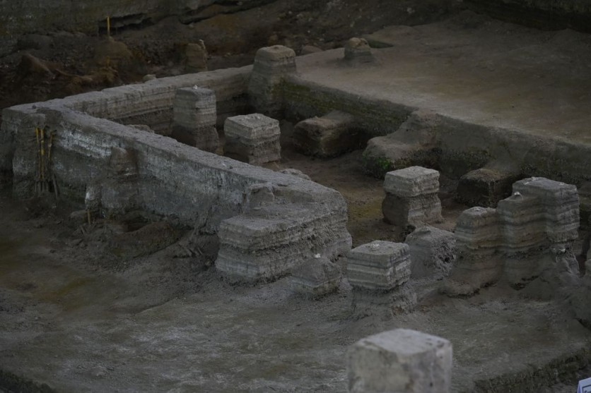
An extensive ancient Mayan civilization that existed more than 2,000 years ago has been partially excavated in northern Guatemala, according to a new study.
As reported first by VICE, nearly 1,000 towns made up this long-forgotten urban web, which covered 650 square miles and was connected by a vast network of causeways that was discovered using airborne laser equipment called LiDAR.
Surprising Density of Maya Sites
The Mirador-Calakmul Karst Basin (MCKB) in Guatemala has a surprising density of Maya sites, which challenges the belief that this region was only inhabited by early humans throughout the "Preclassical" period, which ran from 1,000 BC to 150 AD.
The study was considered one of the largest contiguous regional LiDAR studies in the Maya Lowlands, which spans portions of Mexico, Belize, and Guatemala. The research team was led by Richard Hansen, an archaeologist at Idaho State University and the project director of the Mirador Basin Project.
According to the archaeologists, the LiDAR scan showed an exceptional distribution and density of Maya sites centered in the MCKB, many of which were connected directly or indirectly by a large causeway network that included 110 miles of raised roads.
The archaeologists observed that the expansive civilization suggests labor investments that challenge the organizational capacities of smaller polities and may represent the Preclassic period's governance tactics.
LiDAR Analyses
A pulsed laser is used in the remote sensing technique known as lidar to determine distances to the Earth. These light pulses produce precise, three-dimensional data on the shape of the Earth and its surface features when paired with other data captured by the aerial system.
This technique is ideal for archaeologists since it can uncover evidence of earlier human activity that may be hidden by thick vegetation.
The team spent years flying airborne LiDAR sensors over the MCKB at a height of about 2,000 feet in search of buried traces of ancient settlements.
Such flights have eventually yielded clusters of undiscovered contemporaneous spots, including enormous platforms and pyramid complexes that point to the existence of an intricate political structure.
Numerous ballcourts for Mesoamerican games as well as a sophisticated system of canals and reservoirs for managing water were found by the archaeologists as well.
The team also looked at the 230-foot-tall Danta pyramid, which was once the heart of multiple causeways and a popular tourist destination in the Maya capital of El Mirador.
The astounding new find provides insight into the people who inhabited the thriving civilizations of this forested region for more than a thousand years.
Hansen and his team are hopeful that ongoing research will help to uncover the mysteries of this long-gone civilization and possibly new communities that have gone dormant for many years.
The full LidAR analyses of this ancient civilization was published in the journal Cambridge Core.
Related Article : Archaeologists Find an Extremely Rare 1,300-year-old Gold and Gemstone Necklace From a Medieval Woman in England

ⓒ 2026 TECHTIMES.com All rights reserved. Do not reproduce without permission.


