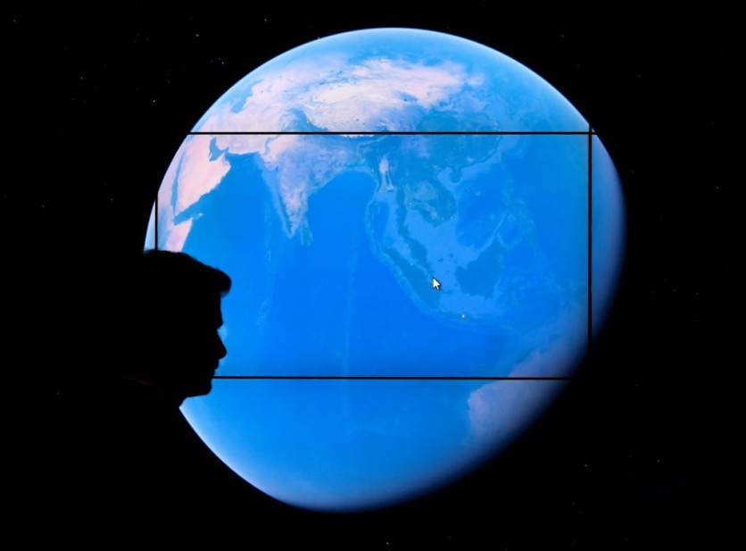
Google Earth, the search engine's computer program that renders a 3D representation of Earth, finally received a major update.

Its latest enhancement allows it to become more accurate compared to its versions in the past years.
Aside from showing the Earth's cities and landscapes from numerous angles, Google Earth also allows its users to see how the planet evolved in the past years.
Before its Timelapse update, Google Earth could only show data until 2020. But, with the latest enhancement, the computer program now offers 2021 and 2022 data.
Google Earth Becomes More Accurate!
According to Extreme Tech's latest report, the Google Earth Timelapse enhancement offers new imagery from 2021 and 2022.
Thanks to this improvement, Google Earth now offers a more updated visibility into large-scale changes from the last few years.
This means that Google Earth now shows the Earth's landscape changes from 1984 until 2022.
Google Earth relies on the data gathered by the National Aeronautics and Space Administration (NASA), the U.S. Geological Survey, and the European Space Agency (ESA).
One of the most suggested locations to check on Google Earth Timelapse is the Egyptian deserts, as reported by Android Police.
Google Earth shows how these deserts' irrigation systems developed over the past years. Aside from Egypt, California's Lassen National Forest is also a great landscape to view.
How to Use Google Earth Timelapse?
Using the Google Earth Timelapse is easier than you think. You can search for Google Earth on your browser or click this link.
After that, just follow the steps provided below:
- First, click the three-dot icon located at the upper-right corner of your screen.
- After that, press the Restart button. The "Timelapse in Google Earth" should pop up.
- Then, you can use the Search Bar to look for the location you want to see.
Here are other stories we recently wrote about Google:
Google's restrictions have been applied to loan apps, preventing them from accessing user photos, contacts, and other data.
We also reported that the Google Now Launcher was recently shut down.
For more news updates about Google and its other products, always keep your tabs open here at TechTimes.

ⓒ 2026 TECHTIMES.com All rights reserved. Do not reproduce without permission.


