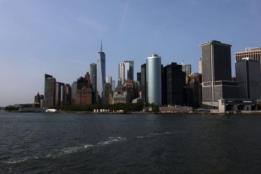
Parts of New York City are experiencing varying rates of land sinking and rising. These fluctuations, although minor, carry significant implications for local flood risk associated with rising sea levels. The factors contributing to these changes range from historical land-use practices to the ancient influence of glaciers.
New York City's Complex Land Elevation Dynamics
A recent study by a group of researchers from NASA's Jet Propulsion Laboratory in Southern California and Rutgers University in New Jersey delved into vertical land motion in the New York City metropolitan area, Interesting Engineering reported.
The investigation spanned from 2016 to 2023 and utilized interferometric synthetic aperture radar (InSAR), a remote sensing method capable of discerning both upward (uplift) and downward (subsidence) vertical land movements. InSAR relies on the combination of multiple 3D observations of a given area to unveil changes in surface motion and topography.
The researchers noted that much of the observed land motion was concentrated in areas where prior alterations to the Earth's surface, such as land reclamation and the establishment of landfills. These activities rendered the ground more loose and easily compressed beneath subsequent buildings.
Additionally, certain land motions can be attributed to natural processes with origins dating back thousands of years, specifically to the last ice age. In the case of New York City, which is situated on land that was raised outside the edge of the ice sheet, is now experiencing subsidence.
The study also revealed that some areas are sinking faster than the rest of New York City, including Arthur Ashe Stadium, Coney Island, LaGuardia Airport, Highway 440, and Interstate 78.
Utilizing ESA's Satellites
According to NASA's press release, the researchers determined that the metropolitan area experienced an average subsidence rate of roughly 0.06 inches (1.6 millimeters) per year-a rate similar to the monthly growth of a toenail.
This meticulous mapping, achieved through the utilization of European Space Agency Sentinel-1 satellites' radar capabilities and advanced data processing, revealed specific neighborhoods and landmarks that were subsiding at rates exceeding this average.
The in-depth mapping of vertical land motion in the New York City area has revealed previously overlooked details, according to lead author Brett Buzzanga, a postdoctoral researcher at JPL.
On the other hand, David Bekaert, a JPL scientist and principal investigator for the project, emphasized the importance of tracking localized elevation changes and relative sea levels.
Such monitoring plays a vital role in flood mapping and urban planning, especially in the context of a changing global climate that is causing sea levels to rise, leading to more frequent nuisance flooding and heightened storm surges.
"Protecting coastal populations and assets from coastal flooding is an ongoing challenge for New York City... The combined effect of natural sea level variations and destructive storms is being increasingly exacerbated by ongoing sea level rise," the researchers noted.
Approximately 24,000 years ago, Phys.org reported that an expansive ice sheet extended across a significant portion of New England, with a towering ice wall of over a mile in height enveloping present-day Albany in upstate New York. The Earth's mantle, similar to a flexed mattress, has been undergoing gradual readjustments ever since.

ⓒ 2026 TECHTIMES.com All rights reserved. Do not reproduce without permission.


