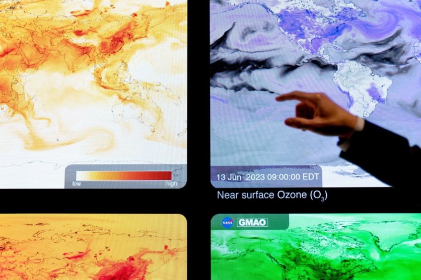
Amid escalating extreme weather events fueled by climate change, NASA is intensifying its efforts to understand and address the planet's warming. Beyond conducting its studies, NASA empowers external researchers with artificial intelligence (AI).
NASA Partners with IBM Research
In a collaborative effort in 2023, NASA partnered with IBM Research to develop an AI geospatial foundation model.
This model, trained on extensive datasets such as NASA's Harmonized Landsat and Sentinel-2 (HLS) data, is a fundamental resource for many AI-driven research endeavors to tackle environmental adversities. NASA has also ensured the model's accessibility to all interested parties, fostering collaborative exploration and discovery.
Foundation models act as a cornerstone upon which scientists can construct a diverse spectrum of applications, thereby enabling robust and efficient solutions.
Manil Maskey, the data science lead at NASA's Office of the Chief Science Data Officer (OCSDO), likens these models to Swiss Army Knives, versatile tools adaptable to various purposes.
Through fine-tuning, the geospatial foundation model has demonstrated proficiency in detecting burn scars, delineating floodwater, and classifying crop and land use categories, according to NASA.
While NASA contributed extensive data and scientific expertise, IBM provided computational resources and AI algorithm optimization proficiency.
Read Also : NASA Roman Space Telescope's Eyes Are One Step Closer to Peering Through the Galaxy's Mysteries
Weather and Climate Model
NASA and IBM Research are also teaming up to develop a weather and climate model following the success of the geospatial foundation model.
They are collaborating with Oak Ridge National Laboratory (ORNL), NVIDIA, and several universities to utilize the Modern-Era Retrospective Analysis for Research and Applications, Version 2 (MERRA-2) dataset.
Like the geospatial model, this weather and climate model will be accessible to the public, encouraging collaborative innovation and exploration.
Multiple foundation models trained on different datasets would be necessary to cover all aspects of Earth science.
However, Maskey believes these future models could eventually merge into one comprehensive model, leading to a "digital twin" of the Earth that would provide unparalleled analysis and predictions for several climate and environmental events.
"To build a foundation model at scale, we realized early on that it's not feasible for one institution to build it," Maskey said.
"Everything we have done on our foundation models has been open to the public, all the way from pre-training data, code, best practices, model weights, fine-tuning training data, and publications. There's transparency, so researchers can trace why certain things were used in terms of data or model architecture."
Related Article : The First Non-Americans to Land on the Moon Will be Japanese as NASA, JAXA Sign Agreement for Lunar Rover

ⓒ 2026 TECHTIMES.com All rights reserved. Do not reproduce without permission.


