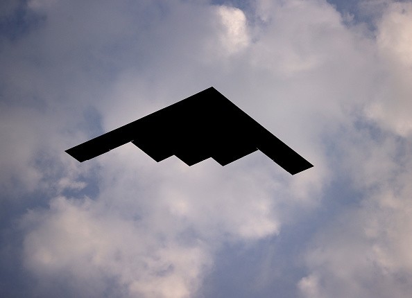
Google Maps has captured another astonishing image of a B-2 stealth bomber. For the past few years, this popular app of the search engine giant has taken photos of multiple objects that the naked eye is not easily seen.
Related Article: Best Google Maps Blogs to Follow Before 2021 Ends
These include a hidden house, a restricted area, and other places. Now, Reddit user u/Hippowned shared a screenshot of Google Maps showing the jet that was supposed to be undetectable.
The viral user received more than 100,000 upvotes right now because of his interesting content. To help other people see the actual photo themselves, the Reddit user also provided the coordinates for the image.
"A stealth bomber in flight caught on Google maps - 39 01 18.5N. 93 35 40.5W," said u/Hippowned via his official Reddit post.
Google Maps Captures B-2 Stealth Bomber
According to The Newsweek's latest report, the stealth aircraft was captured above the Davis Township, Missouri. But, since this jet is quite controversial, some Reddit users in the comment section claimed that the image would soon be taken down.
Remember, B-2 stealth bombers were used during serious world war events. Meanwhile, many people became optimistic, sharing their jokes regarding the post.
One of the users in the comment section even said that it is "more like a photo bomber." On the other hand, other individuals were astonished by the image since it shows how satellites work.
The viral image on Google maps has some blue, red, and green wavelength, which are the colors appearing when sats capture photos of the objects within the planet.
You can visit this link to see the actual image.
How Google Maps Captured the Stealth Bomber
Experts explained that the B-2 stealth bomber can really be captured using advanced camera technologies, especially those with high shutter speeds. On the other hand, satellites can also take photos of these jets even when they are at their top speeds.
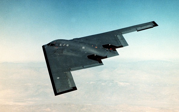
B-2 is only dubbed as a "stealth" aircraft since radars can't easily detect it, thanks to its slant panels and low sonic boom.
In other news, Google Maps was recently updated to help healthcare workers in listing accepted insurances. On the other hand, new Google Maps grocery shopping updates were also released before the holiday season arrived.
For more news updates about Google Maps and the new viral photos it captures, always keep your tabs open here at TechTimes.
This article is owned by TechTimes
Written by: Griffin Davis
ⓒ 2026 TECHTIMES.com All rights reserved. Do not reproduce without permission.


