NASA's Surface Water and Ocean Topography (SWOT) satellite has finally arrived at the Californian Vandenberg Space Force Base, where engineers will start making last-minute preparations for the spacecraft's launch in December aboard a SpaceX Falcon 9 rocket from Space Launch Center-4 East.
This marks the space agency's first satellite mission to measure the height of water in our planet's oceans, lakes, rivers, and reservoirs. It will observe almost all of the planet's surface water.
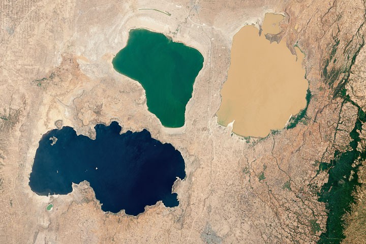
Studying the Earth's Water
According to NASA, the instruments on SWOT will be able to distinguish phenomena in the ocean such as currents and eddies that are less than 60 miles (100 kilometers) across, lakes and reservoirs that are larger than 15 acres (6 hectares), and rivers that are broader than 330 feet (100 meters).
The scientific payload was constructed by NASA's Jet Propulsion Laboratory in Southern California. JPL sent the payload to France in June 2021, where a global team assembled the satellite bus with the Ka-band Radar Interferometer (KaRIn) and other precisely honed equipment.
SWOT flew from France to Vandenberg on a U.S. Air Force C-5 Galaxy on October 16 and then transferred to the Astrotech Space Operations facility to start the launch preparation process. In the coming weeks, SWOT will go through a number of processes before its December launch.
Teams must move the satellite to the launch pad, attach it to the rocket, and enclose it in a protective payload fairing before launching it into space, according to NASA.
Once the SWOT is in orbit, it will gather data from the ocean to assist scientists in better understanding how saltwater absorbs heat and carbon dioxide from the atmosphere, which has an impact on global temperatures and climate change.
This information will also aid academics in their understanding of coastal sea levels and, most significantly, how the relationship between sea surface height and a changing climate may impact events such as storm surges.
First Thorough Global Assessment
The first thorough global assessment of freshwater lakes, rivers, and reservoirs from space will also be made possible by SWOT. The satellite will evaluate the breadth and height of the water within these bodies of water as well as their surface area.
The information will enable scientists and resource managers to better track changes in water volume over time and keep an eye on how much water enters and exits our planet's freshwater bodies.
The Canadian Space Agency (CSA) and the UK Space Agency have also contributed to the SWOT project, which is a partnership between NASA and the French space agency Centre National d'Études Spatial (CNES). The launch service is managed by NASA's Launch Services Program, which is situated at the agency's Kennedy Space Center in Florida.
Related Article : NASA Detects Most Powerful Cosmic Gamma-Ray Burst, Signals the Beginning of a New Black Hole?
This article is owned by Tech Times
Written by Joaquin Victor Tacla
ⓒ 2026 TECHTIMES.com All rights reserved. Do not reproduce without permission.


